What is the NYC Comprehensive Waterfront Plan?
The plan aims to make New York City’s 520-mile waterfront more healthy, equitable and resilient
The New York City Department of City Planning (DCP), on behalf of the City of New York (City) and in collaboration with agency partners, community groups and New Yorkers, has created the Comprehensive Waterfront Plan (the Plan) to outline a 10-year vision for a more equitable, more resilient and healthier waterfront for all New Yorkers. This Plan lays out goals that will guide planning and policies for the New York City (NYC) waterfront and NYC waterways over the next decade and beyond. These goals are accompanied by strategies that the City will pursue to implement the goals. These goals and strategies are far-reaching and realistic and have been informed by extensive public outreach, close inter-agency coordination and analyses of key waterfront issues.
Since the City released its first Comprehensive Waterfront Plan nearly 30 years ago, the waterfront has been cleaned up and transformed. More work remains. This Plan builds upon the vibrancy of today's waterfront while also advancing new strategies for an equitable, resilient, and healthy waterfront in the face of climate change and a changing economy.
Beacons
The Plan is guided by three “beacons” or values: Equity, Resiliency, and Health. The beacons inspired the planning process for the Plan and guide its 10-year vision. These beacons are inextricably related and intertwined. They serve to frame NYC’s ambitions for the waterfront and waterways and, combined with other key factors, aid in prioritizing actions within the City’s means.
Equity
Removing Barriers to Housing, Jobs and Open Space Across All Waterfront Communities
An equitable waterfront means that all waterfront communities can access quality affordable housing, well-paying jobs, and safe, attractive open spaces.
The Plan aims to improve the lives of New Yorkers by identifying strategies that improve the quality of waterfront public spaces, ensure fairer access to workforce development and economic opportunity, and enhance day-to-day quality of life across all waterfront neighborhoods.
Through the Plan, the City will prioritize working with lower-income communities and communities of color to ensure their strong role in planning processes and projects, whether for safer and more enjoyable waterfront parks, investments in water quality improvements, or strategies for adapting our neighborhoods to climate change.
Resiliency
Equipping Communities to Thrive in a Changing Environment
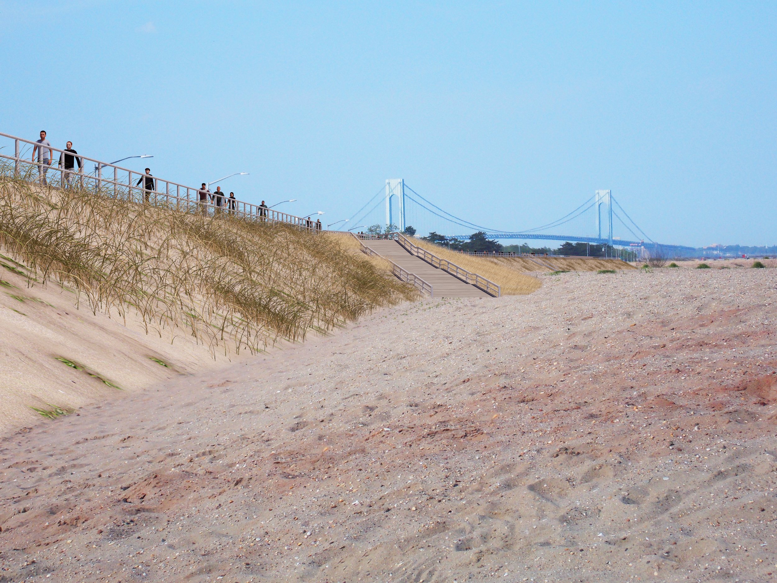
A resilient waterfront means that residents and communities have the capacity to cope with everyday stresses of climate change and to minimize disruptions from extreme heat and flooding.
Achieving climate justice will require uncovering and addressing the structural causes of disproportionate climate risk, vulnerability and inequality. The compounding impacts of climate risks include uneven opportunities for constructing coastal flood protection on public lands, disproportionate health risks near industrial areas that may be exposed to pollution during floods, and varying infrastructure service levels that may exacerbate power outages and failures during weather events.
The roadmap to a resilient future will incorporate climate risk into every decision about infrastructure investments, land use planning and operational strategies to sustain a safe, thriving city while reducing vulnerability to the impacts of climate change. The City will seek to balance citywide policy and planning with community-specific needs through transparency and advocacy and by equipping those most affected by climate change to make decisions that will improve their lives.
Health
Enhancing Our Waterfront and Waterways to Maximize Well-Being
A healthy waterfront means that people, natural areas and wildlife can all flourish and support each other’s well-being. Physical, economic and mental well-being were brought to the forefront this past year. The COVID-19 pandemic highlighted the importance of access to open space and fresh air. However, differences in neighborhood resources have led to unfair health outcomes, with some New Yorkers living longer, healthier lives than others. The Plan recognizes the connection among these elements — the health of NYC waterways, access to open space and thriving ecosystems — with the health of waterfront communities. A healthy waterfront means that people, natural areas and wildlife can all flourish.
Through the Plan, the City will aim to promote equitable investments in resources that provide health-related benefits for NYC’s waterways, waterfront communities and all New Yorkers.
Progress
The story of NYC over the last few decades can be told as a reorientation towards its harbor and waterways. Centuries of land development, growth in maritime transport, and proliferation of industry along the waterfront effectively closed off recreational access to the waterfront. The subsequent slow decline of industry’s prominence — first within NYC, and then throughout the region, led to steady public and private disinvestment from the wharves, piers, and waterfront infrastructure that supported maritime industry. The economic fallout exacerbated by the City’s fiscal crisis of the 1970s and 1980s quickly spread to the neighboring communities that relied on jobs and city services. By the early 1990s, much of the immediate waterfront was underutilized, polluted and inaccessible for productive use or public enjoyment. Many of the adjacent waterfront communities were left in an economic and public health crisis and without much safe access to their shoreline.
Progress Diagram - Caption Here
Key Topic Area Booklets
Check out the four topic areas below to delve into some of the unique challenges and opportunities that NYC’s waterfront faces.


NYC Planning Waterfront Resources
The Waterfront Resources listed below are the tools we have as a city to guide waterfront projects and share information with New Yorkers about different aspects of the city's waterfront, including waterfront public access and coastal flood risk.
The New York City Waterfront Revitalization Program establishes the City’s policies for waterfront planning, preservation and development projects to ensure consistency over the long term. The goal of the program is to maximize the benefits derived from economic development, environmental conservation and public use of the waterfront, while minimizing any potential conflicts among these objectives. Waterfront zoning maximizes the public’s access to, and enjoyment of, the city’s waterfront resources while enabling appropriate redevelopment along the shoreline.
NYC Planning has also developed interactive tools to make data more accessible for New Yorkers. The Waterfront Access Map allows New Yorkers to locate and learn more about the diverse mix of publicly accessible waterfront spaces throughout the city. The NYC Flood Hazard Mapper provides a comprehensive overview of the coastal flood hazards that threaten the city today, as well as how these hazards are likely to increase in the future with climate change.


