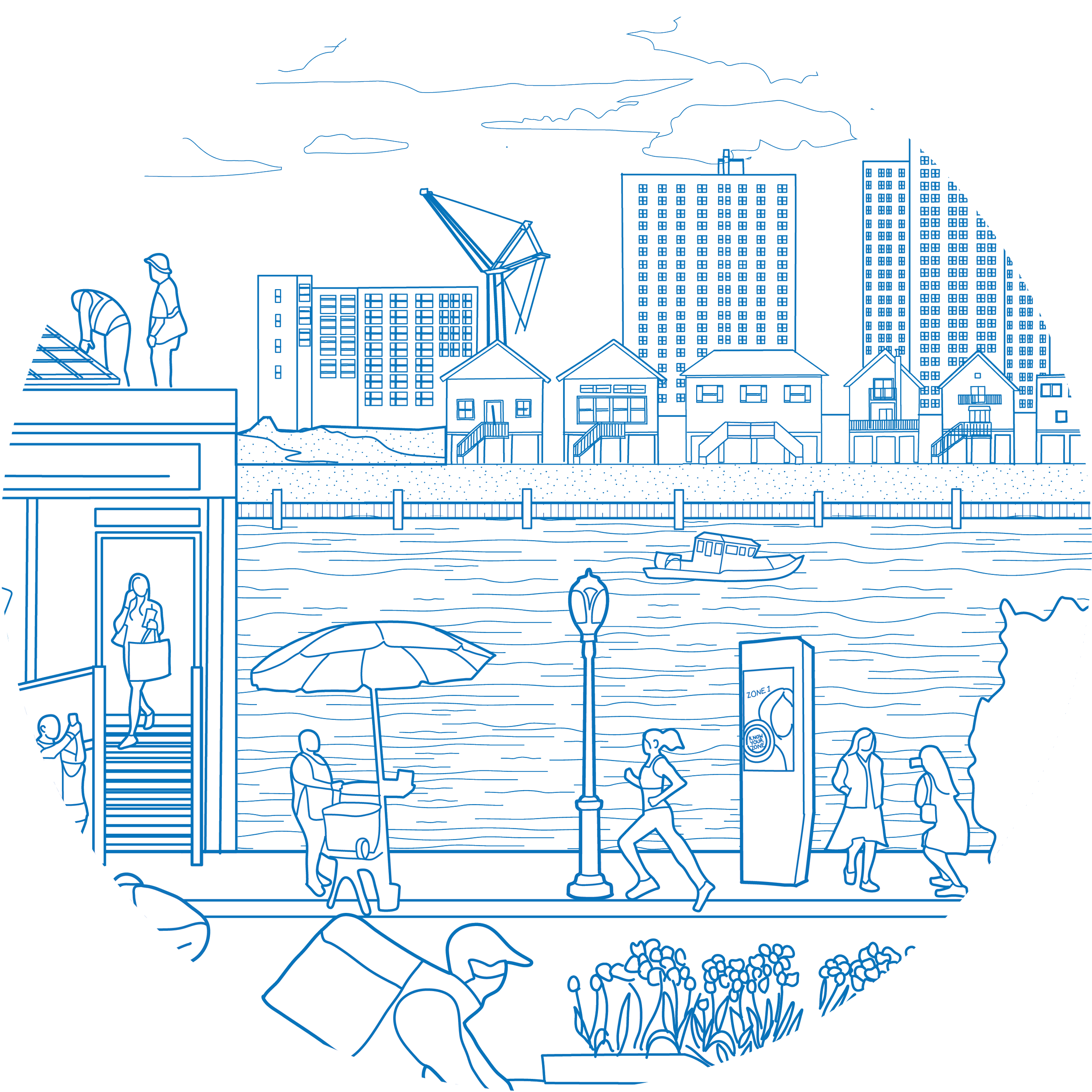
Waterfront Public Access
To guide decision-making as the City plans for the expansion of waterfront public access and open space over the next 10 years, this plan outlines three key considerations: (1) Ensuring that future investments and strategies to expand waterfront access continue to address inequities in community access and inclusive design; (2) Acknowledging the effects of climate change and the vital role NYC’s waterfront parklands play in adapting to new realities; and (3) Advancing recreational water access opportunities to redefine “waterfront access.”
Interested in Waterfront Public Access?
Read the Waterfront Public Access Study to learn how access varies across the city and what can be done to improve connections.

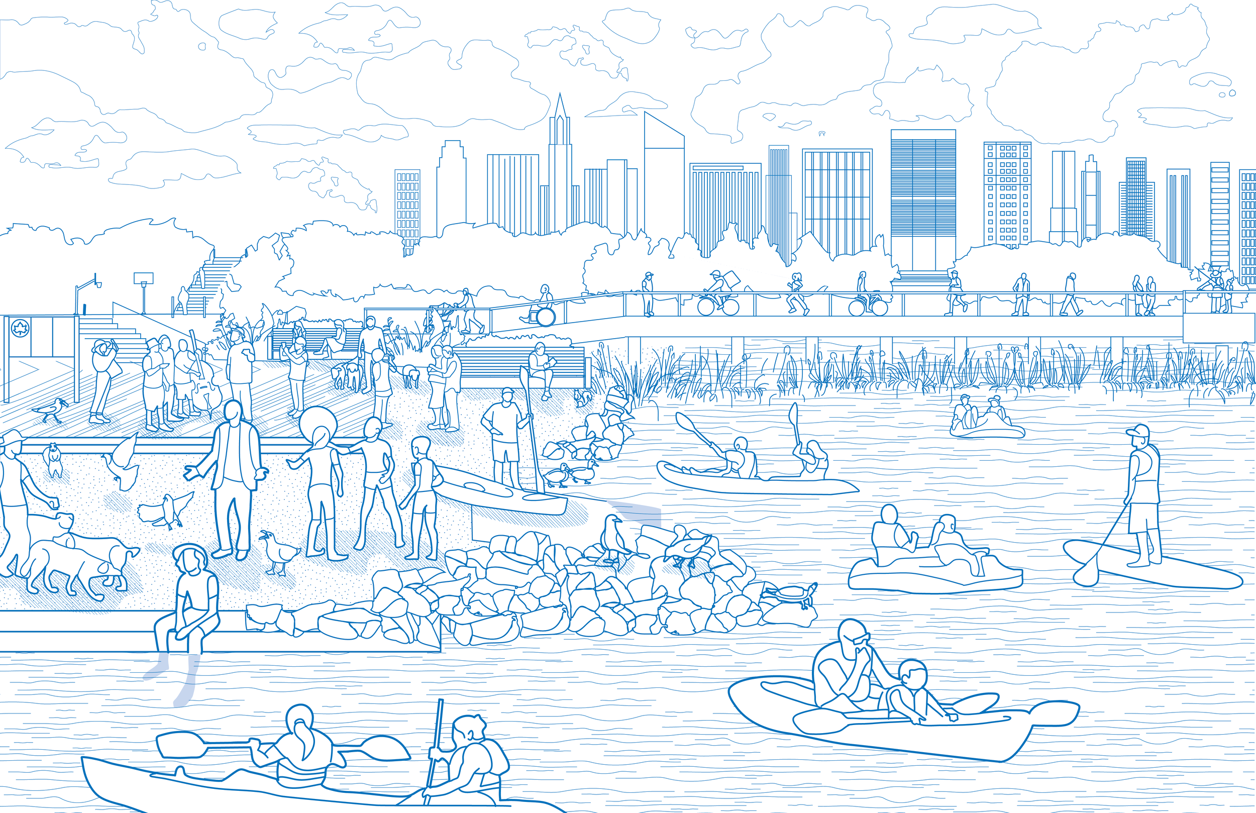
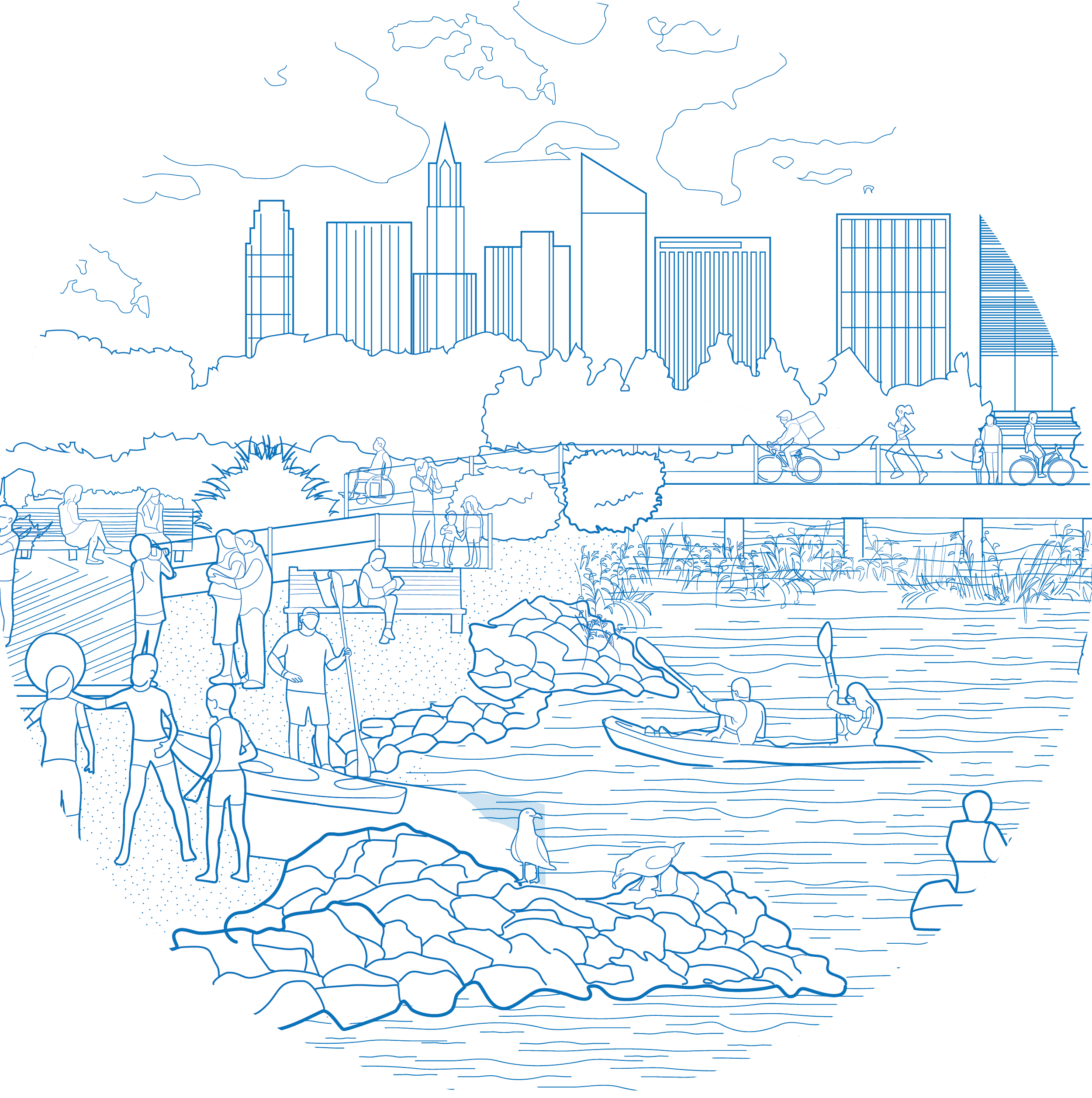
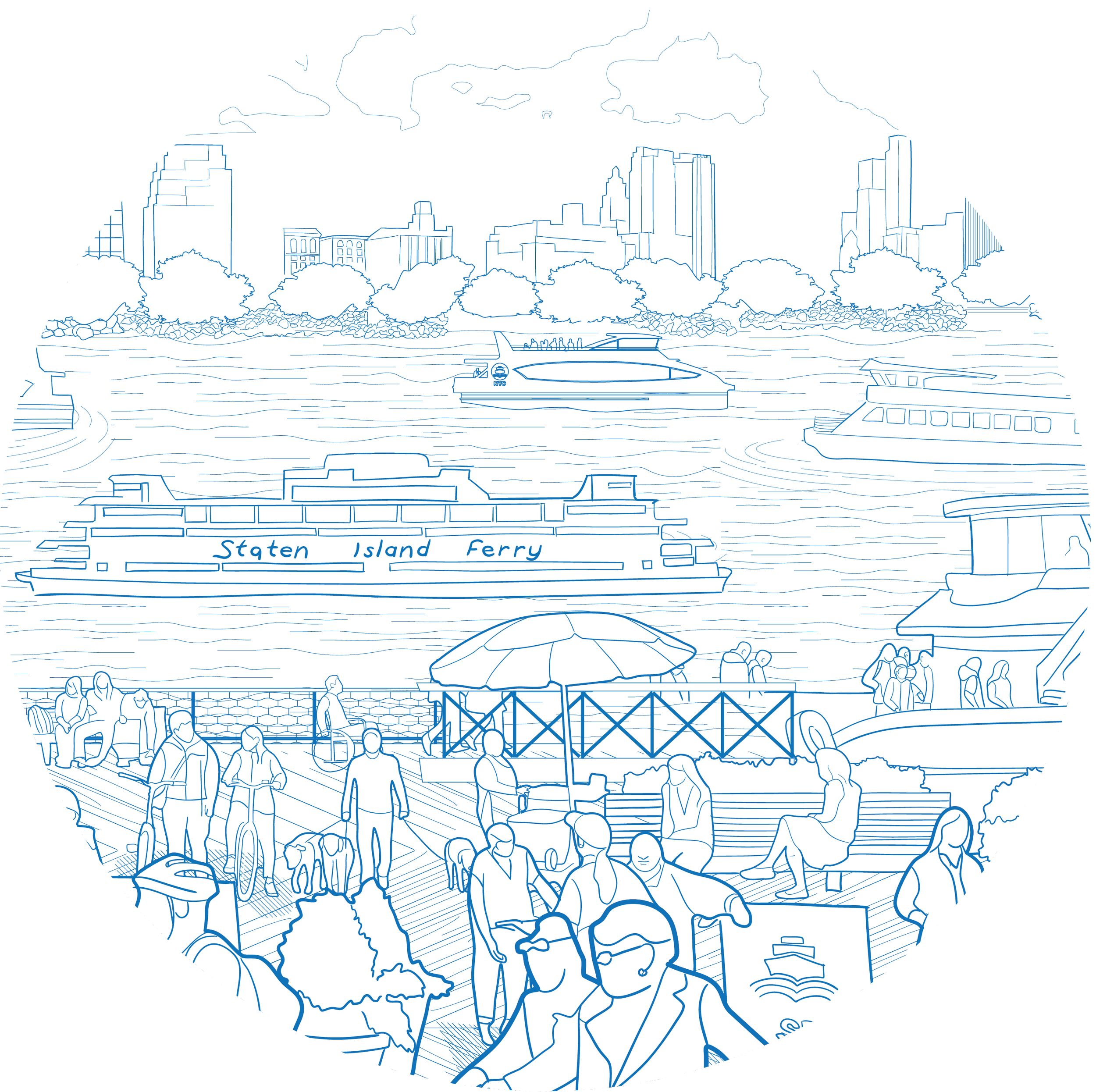
Over the last few decades, NYC has demonstrated its ability to take innovative approaches to building world-class waterfront parks that bring millions of residents and visitors to NYC’s shoreline. Brooklyn Bridge Park and Hudson River Park have grown and thrived over the last decade and are now seen by the public as grand “porches” from which to experience the East and Hudson rivers, respectively. Groupings of parks and open space along the Brooklyn and Queens East River waterfronts — anchored by increasingly popular destinations such as Domino Park, Bushwick Inlet Park, Hunter’s Point South Park and Gantry State Park — are now used as everyday destinations for New Yorkers and tourists who want to play or picnic by the water. Some of the most important neighborhood waterfront parks (like Barretto Point Park in the Bronx and Valentino Pier Park in Brooklyn) connect area residents to their waterfronts. Many are the result of community-led initiatives to reestablish neighborhood waterfront connections that were severed long ago.

Expand public access to the waterfront with an emphasis on equity by bridging access gaps in historically underserved areas and supporting growing waterfront communities
+ How can we do it?
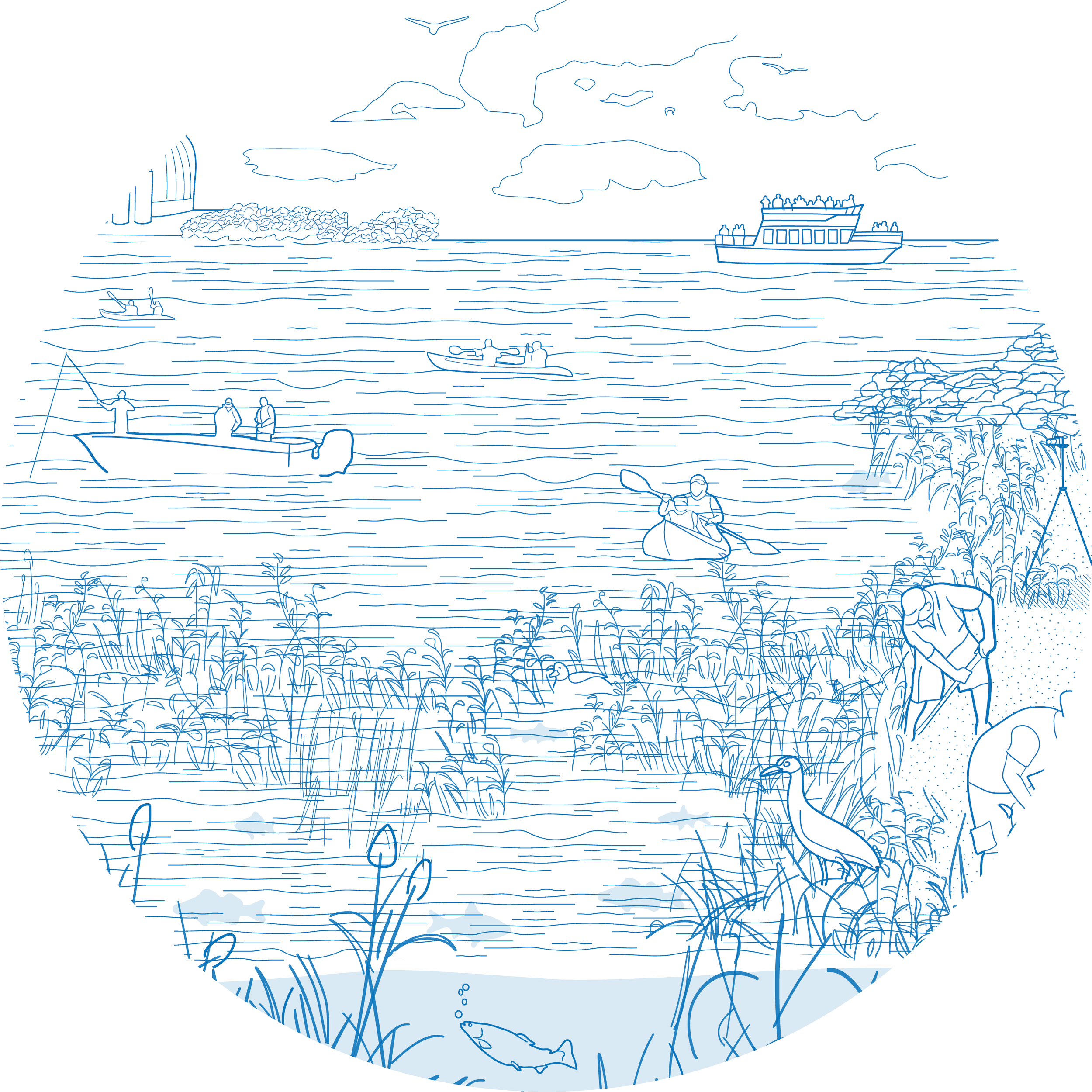
Promote opportunities to get onto and into the water
+ How can we do it?


Shape design and programming of public waterfront open spaces to reflect public use needs
+ How can we do it?
Promote good stewardship of public spaces on the waterfront
+ How can we do it?

Explore More Topics